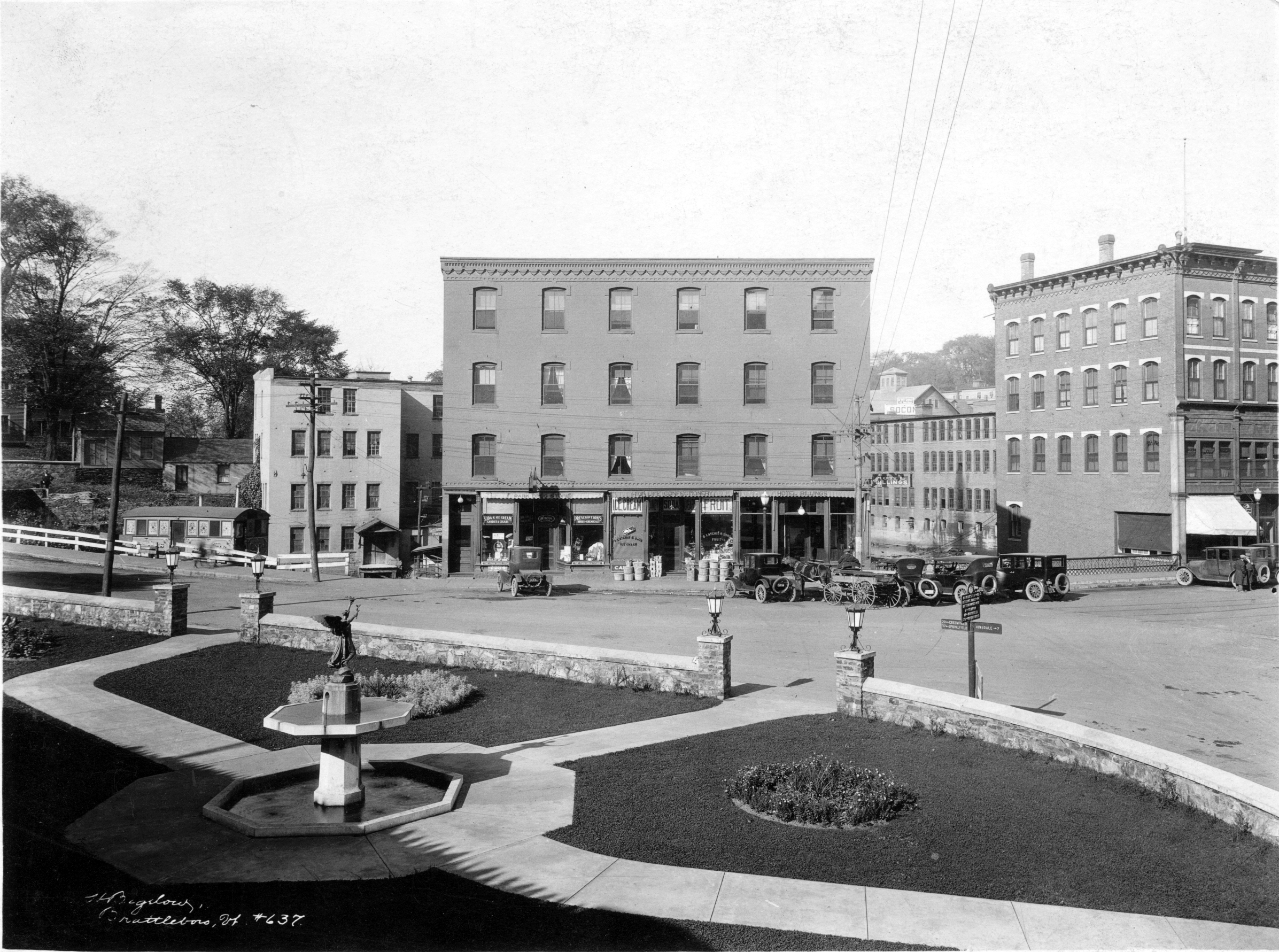
In the spring of 1909, the completion of a new hydro-electric dam in Vernon created at 28 mile long lake, from Vermont’s southern boarder with Massachusetts to Bellows Falls, as waters began to back up and subsume much of the river-adjacent countryside. On average, the water level rose 30 feet and eventually flooded more than 150 farms. Among the lands subsumed by permanent flood waters were a series of petroglyphs sites near the confluence of the West River and Connecticut River dating from a precolonial epoch, in the lands now known as Brattleboro, Vermont.
In August of 2015, after a 30-year search, underwater explorer Annette Spaulding found one of the petroglyph sites, subsumed in 1909 and unseen by persons for over a century.